Every star map begins with three inputs: a date, a time, and a geographic location. From these alone, an accurate rendering of the night sky can be reconstructed for any moment in recorded history. The process combines centuries-old astronomical math with modern visualization techniques.
Celestial Coordinate Systems
Stars are catalogued using right ascension and declination, a coordinate system that works like longitude and latitude projected onto the celestial sphere. When you choose a date and location, the software calculates which portion of that sphere was visible from your exact vantage point, accounting for Earth's rotation, axial tilt, and orbital position.
The result is a hemispherical projection showing every star above the horizon at that moment. Brighter stars are rendered larger, following the magnitude scale astronomers have used since antiquity. A magnitude-1 star like Vega appears roughly 2.5 times brighter than a magnitude-2 star, and so on down the scale.
Why Location Matters
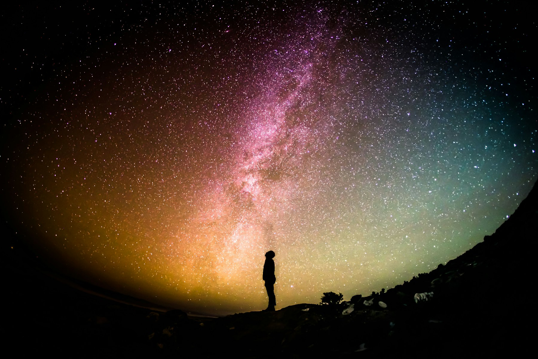
Two people looking at the sky at the same moment from different cities see entirely different arrangements. Someone in Stockholm sees Polaris nearly overhead, while someone in Sydney never sees it at all. The location input shifts the entire projection, making each map genuinely unique to the place where the memory was made.
Constellation Lines and Labels
The 88 officially recognized constellations each have defined boundary regions. When a constellation falls within the visible hemisphere, its traditional stick-figure line pattern is drawn between the relevant stars. Labels can be rendered in Latin, English, or several other languages, depending on the poster's audience.
These line patterns are not arbitrary. They follow the conventions established by the International Astronomical Union, ensuring consistency across all astronomical references.
The Moon Phase Layer
An optional moon element adds another layer of personalization. The phase is calculated from the precise date using lunar ephemeris data, showing whether the moon was a thin crescent, a full disc, or anything in between. On a wedding poster, a full moon carries different emotional weight than a new moon, and customers notice these details.
From Data to Art
The scientific accuracy is the foundation, but the final poster is shaped by design choices: color palette, typography, line weight, and text placement. A dark navy background with white stars feels classic. A cream background with gold accents feels warm and elegant. The same astronomical data can produce dozens of visually distinct results.
The combination of verifiable science and personal meaning is what makes star maps resonate. The recipient knows the sky shown on their wall is not decorative fiction but a real snapshot of the universe at a moment that mattered to them.